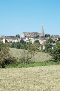
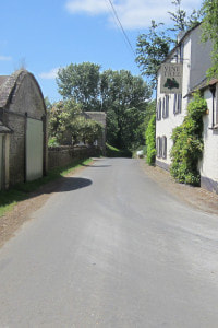
Route
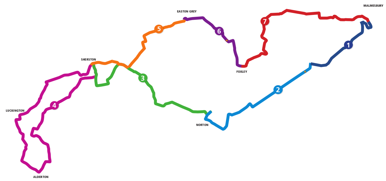
The White Walls Way is made up of seven stages which can be walked separately or combined into a long-distance trail of about 20-miles in length. Click on the cards below to see more details and to download a free guide and Ordnance Survey map for the stage.
All route maps are provided free for you to use or print. Maps provided by Malmesbury Pathfinders / MVCAP under license from the Ordnance Survey.
All route maps are provided free for you to use or print. Maps provided by Malmesbury Pathfinders / MVCAP under license from the Ordnance Survey.
Stage 1
Malmesbury to King's Heath 
Stage 5
Sherston to Easton Grey |
Stage 2
King's Heath to Norton 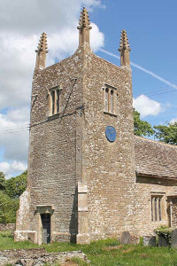
Stage 6
Easton Grey to Foxley |
Stage 3
Norton to Sherston 
Stage 7
Foxley to Malmesbury |
Stage 4
Sherston - Luckington loop 
All stages
The complete trail |
About us
The White Walls Way has been developed by Malmesbury Area Pathfinders (MAP), with funding from the Steve Cox Mayoral Fund, Malmesbury Carnival, and Wiltshire Council's Malmesbury Area Board. MAP is a community group dedicated to promoting walking in North-West Wiltshire.
MAP is part of MVCAP, a registered community charity (Reg: 1155592) based in Malmesbury, Wiltshire, UK.
(c) 2021 MVCAP
MAP is part of MVCAP, a registered community charity (Reg: 1155592) based in Malmesbury, Wiltshire, UK.
(c) 2021 MVCAP

|
|

|

|
